References
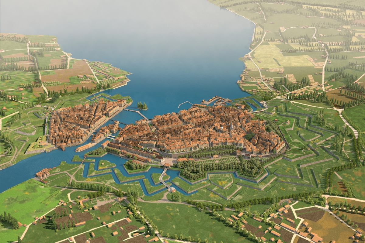
Auguste Magnin Relief Project, steps 1 & 2
IT development / Geomatics
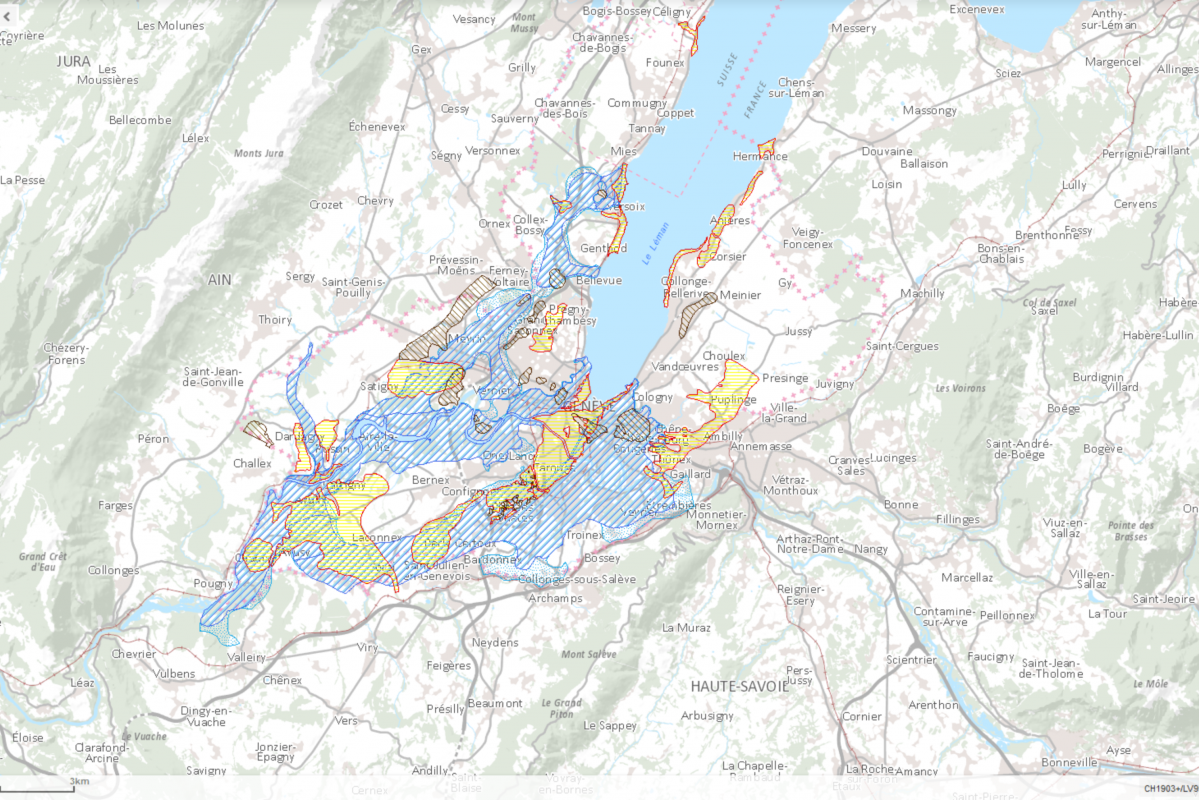
GIS – Cadastre of polluted sites
GIS – Databases / Geomatics
CEVA – Provision of basic files
Geomatics
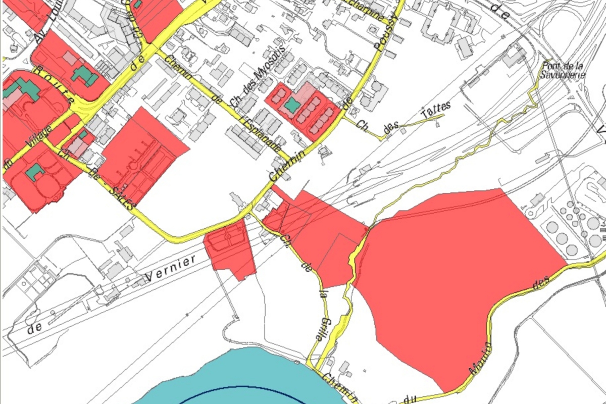
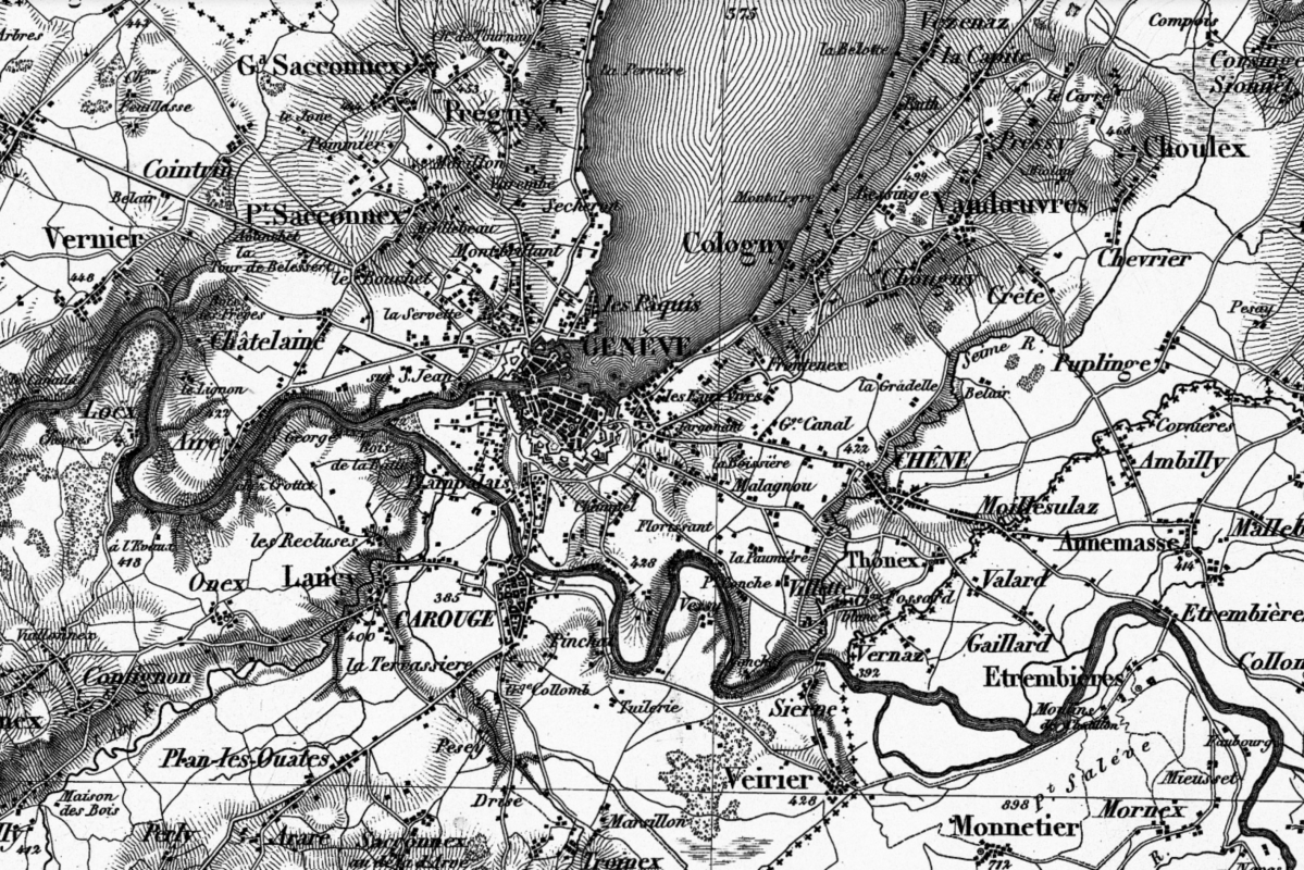
GIS of the city of Vernier
Geomatics / GIS – Databases
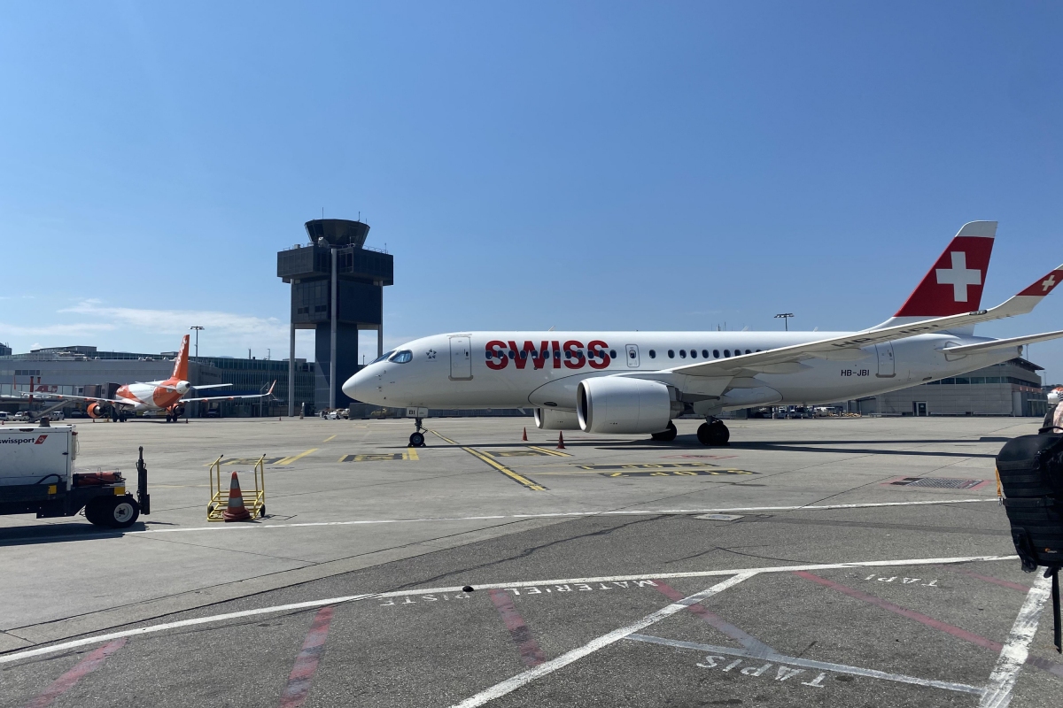
Geneva International Airport – Transformation of the coordinate system
Geomatics
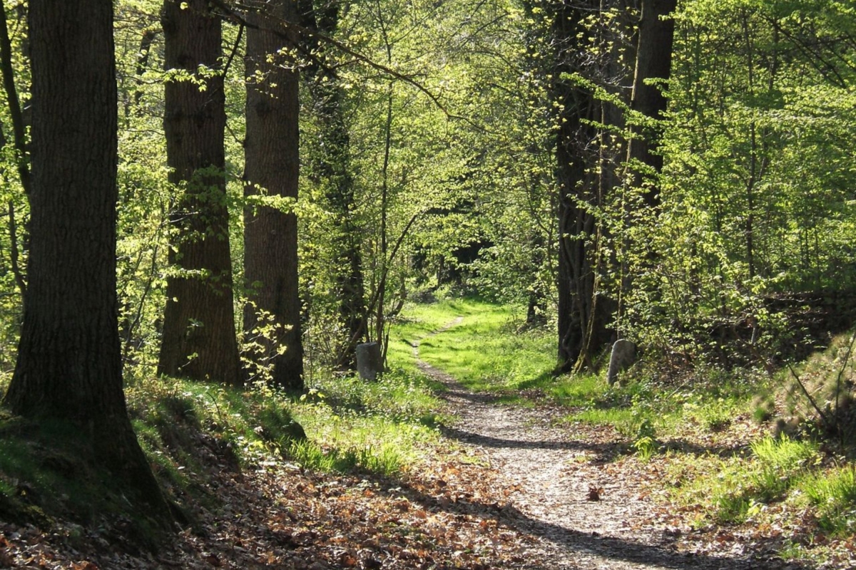
Easier definition of forest limits
Geomatics / Project management
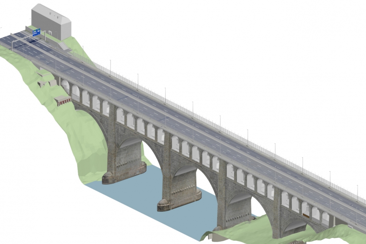
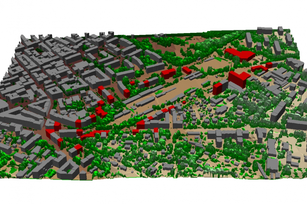
3D measurement/modeling of works of art in Geneva
Geomatics

Precision kinematic measurement
Geomatics
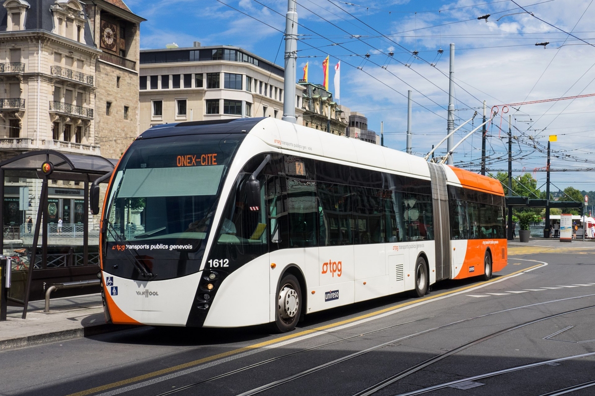
SIG – TPG electrical network
GIS – Databases / Geomatics