• HOME
  • PRESENTATION
  • PRODUCTS
  • SERVICES
  • NEWS
  • REFERENCES
  • CONTACT
  • Français
  • English
  • Deutsch
  • linkedin
  • instagram
  • Credits
  • partners

References

All IT development GIS – Databases Project management BIM Geomatics

Deployment of TopTools in certified engineering surveyors’ offices

IT development

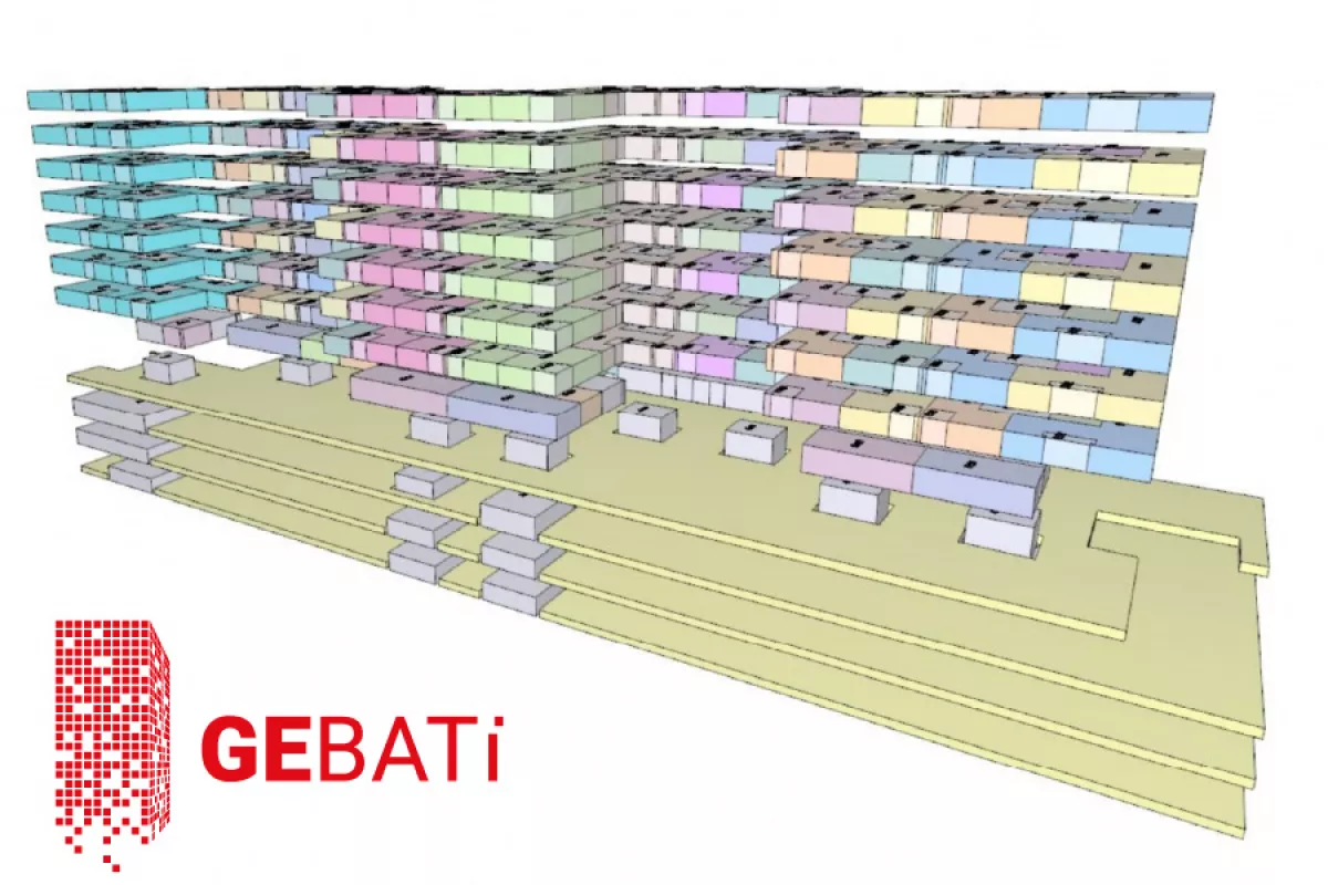
GE bâti – Property by floors

IT development

Automated alert system

IT development / Project management

Auguste Magnin Relief Project, steps 1 & 2

IT development / Geomatics

GIS – Cadastre of polluted sites

GIS – Databases / Geomatics

CEVA – Provision of basic files

Geomatics

Building Information Model (BIM)

BIM

GIS of the city of Vernier

Geomatics / GIS – Databases

Geneva International Airport – Transformation of the coordinate system

Geomatics

Sp@dice – Business management software

GIS – Databases / IT development

Easier definition of forest limits

Geomatics / Project management

3D measurement/modeling of works of art in Geneva

Geomatics

SIG – Noise Protection Ordinance

GIS – Databases

GIS for project management (OFROU)

GIS – Databases / Project management

Precision kinematic measurement

Geomatics

Development of an AutoCAD to ESRI export application

IT development

Autocad applications for the examination of engineering structures

IT development

SIG – TPG electrical network

GIS – Databases / Geomatics

PGEE – City of Geneva / Crissier

GIS – Databases

Digitization and registration of Dufour plans

Geomatics

  • PRESENTATION
  • PRODUCTS
  • SERVICES
  • NEWS
  • REFERENCES
  • CONTACT
  • LINKEDIN
  • INSTAGRAM
Spatial SA
Rue Blavignac 10
1227 Carouge
+41 22 827 16 43
info@spatial-sa.ch