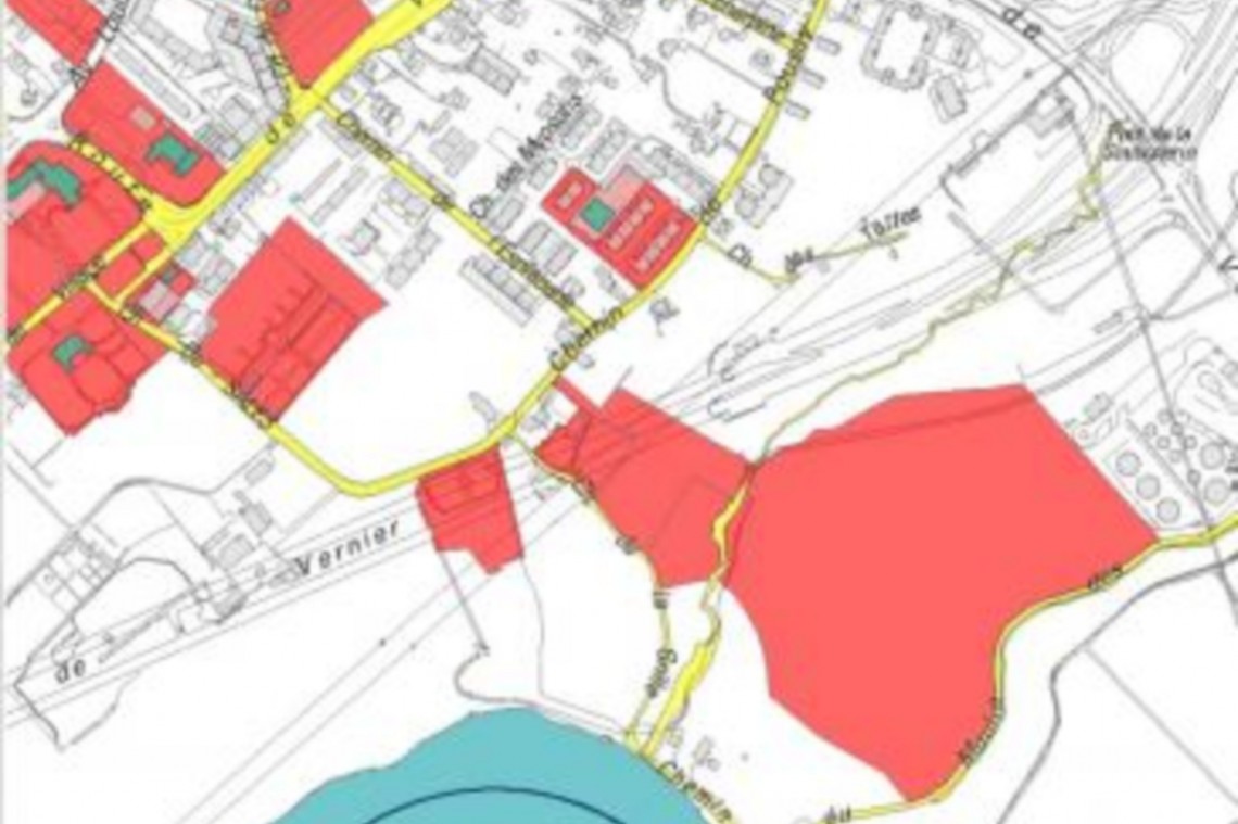
GIS of the city of Vernier
The commune of VERNIER had a significant heritage, partly made up of VHS tapes, of all visits to their Wastewater/Rainwater pipes.
SPATIAL SA was tasked with:
- digitize video heritage,
- import all information (videos, visit vectors, anomaly points, etc.) into a GIS under Arcgis,
- check all the data, comparing in particular the cadastral distance between chimneys to that indicated by the company specializing in camera inspections,
- take inventory of unvisited pipes.
The points of anomalies are linked to the photo taken in situ.
The visit vectors correspond to the trajectory traveled by the camera for the visit. The linked movie is launched with a single click.