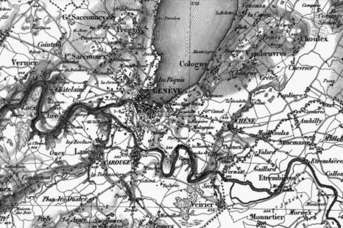
Digitization and registration of Dufour plans
SPATIAL SA has developed a process to transfer the plans published by General Dufour, established in the 1850s, from a local system to the current Swiss national system, using an affine transformation with meshing and interpolation.
The process consists of:
- digitize DUFOUR cardboard plans,
- digitize plots and buildings,
- identify the homologous points from planes to planes,
- simulate the effect of an affine transformation, by providing the Land Registry with a “comb” of residual vectors [digitized points – transformed points],
- apply the affine transformation validated by the Simulation Cadastre service.
This process was implemented for the company Haller Wasser + Partner SA, to process 2/3 of the Dufour plans of the Republic and the canton of Geneva.
Place :
Canton of Geneva Project owners :
Cantonal Directorate of Official Measurement
Period :
2003-2005
Services :
GeomaticsProducts :

