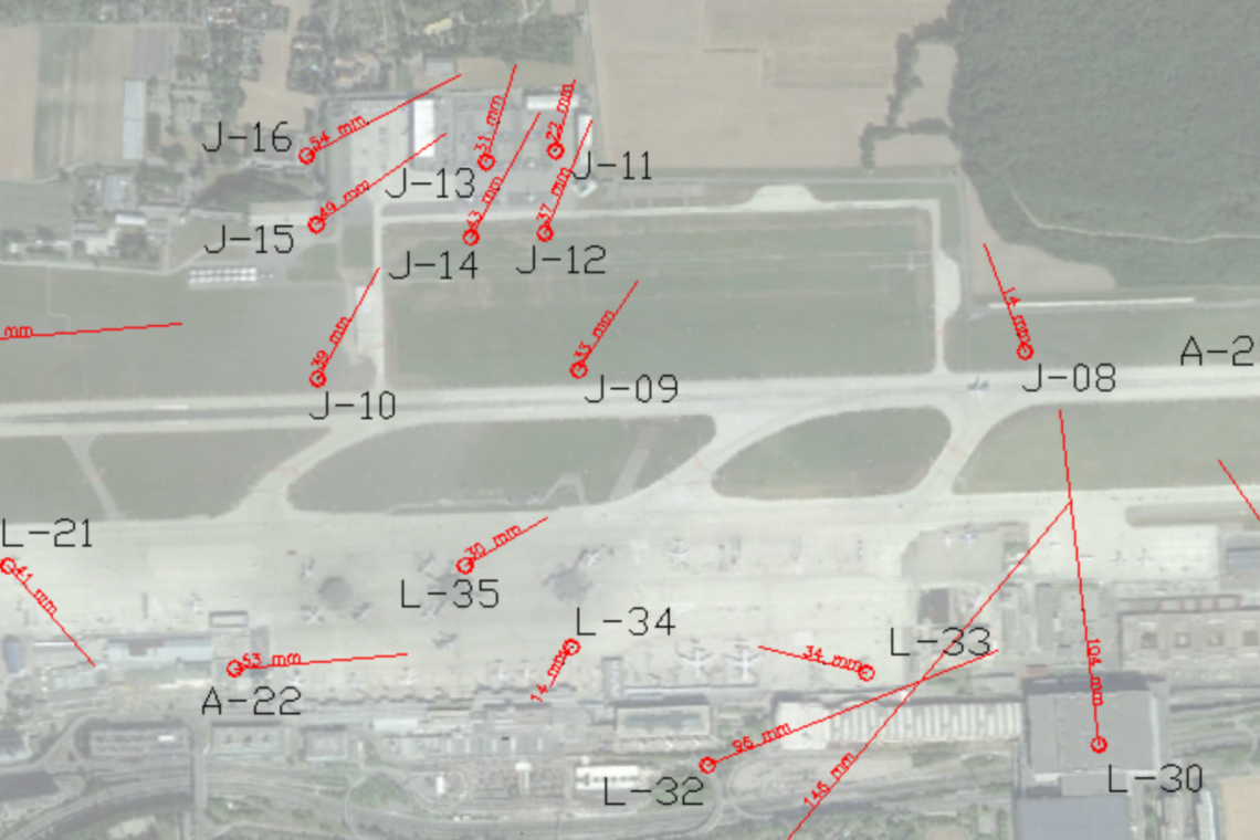
Geneva International Airport – Transformation of the coordinate system
Geneva International Airport operates with its own local reference, called XY-AIG.
This mandate consisted of the characterization of the local projection system XY-AIG in WKT format, with the calculation of projection parameters (abscissa, ordinate, scale factor, azimuth, longitude and latitude of the center), in relation to the system of Swiss coordinates.
Determining the projection makes it possible to integrate data into a GIS both in the XY-AIG system, and in the MN95 or MN03 systems, with perfect consistency.
