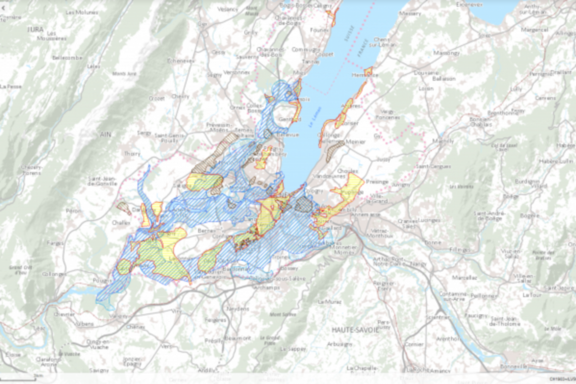
GIS – Cadastre of polluted sites
The register of polluted sites of the State of the Republic and the Canton of Geneva lists and determines all the sites requiring sanitation. It also sets priorities and objectives for subsequent remediation. This information portal is public and can be consulted on the geoportal géoportail du Système d'Information du Territoire à Genève (SITG).
The establishment of the register of polluted sites took place in three stages :
- Definition of quality standards for soils, based in particular on comparative studies, and calculation of the normative values to be applied, in consultation with the following State services concerned: Cadastre, Geomatics, ECOTOX, Geology, Lakes and river courses. water, Inf-water-waste,
- Creation of a georeferenced database of soils, previously identified and inventoried,
- Qualification of soils, in particular by issuing quality certificates.
The ESRI database developed by SPATIAL SA constitutes a geographic digital base for :
- the entry of a large number of data of all kinds, using various methods (digitalization, entry by masks, etc.) in a unique coordinate system,
- the storage and management of this data, as well as their integration into the SITG and the SIEnG,
- the regular updating of this data, in a controlled manner, using in particular robust topological controls,
- publishing statistical documents and thematic maps,
- the dissemination and exploitation of data available via the web and a public geographic site.
Description :
GIS - data management
Place :
Canton of Geneva
Project owners :
City of Geneva
Period :
2001-2005
Services :
GIS – Databases / GeomaticsProducts :
