Automated alert system
Structure monitoring is traditionally carried out via one-off and periodic monitoring of an element, with manual tacheometric or leveling measurements carried out by a surveyor's office or a specialized company. The implementation of a team of surveyors and suitable precision equipment is sometimes restrictive.
The development of new technologies, industrialization 4.0, the rise of IoT (Internet of Things) and the democratization of sensors make remote monitoring techniques very competitive.
The implementation of autonomous sensors allows remote management which can complement or supplant field operations, while guaranteeing precise and regular monitoring of sensitive elements.
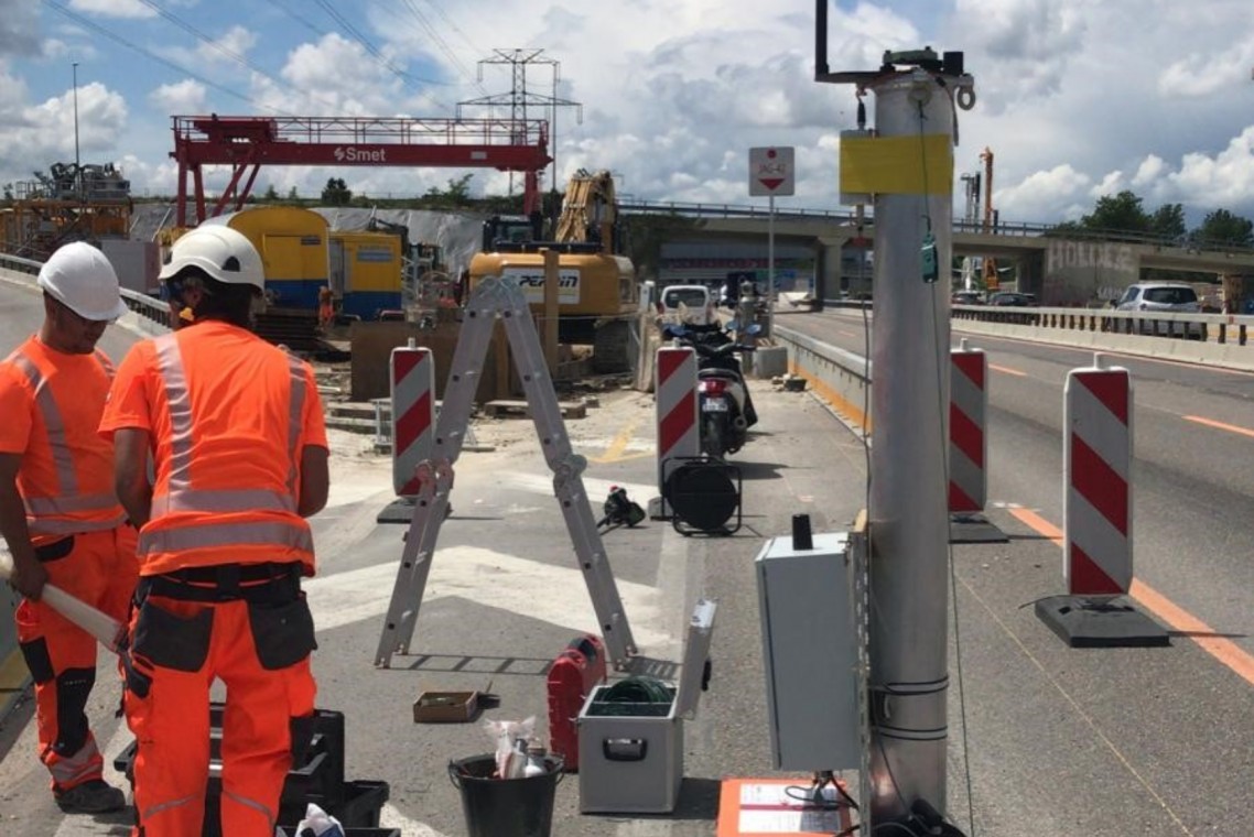
In this context, for several years SPATIAL SA has carried out as broad an overview as possible of the acquisition systems available on the market. An acquisition system is broken down schematically into the following elements:
- A central acquisition unit (computer and protection box)
- Measuring instrument(s)
- Transfer of data to the internet
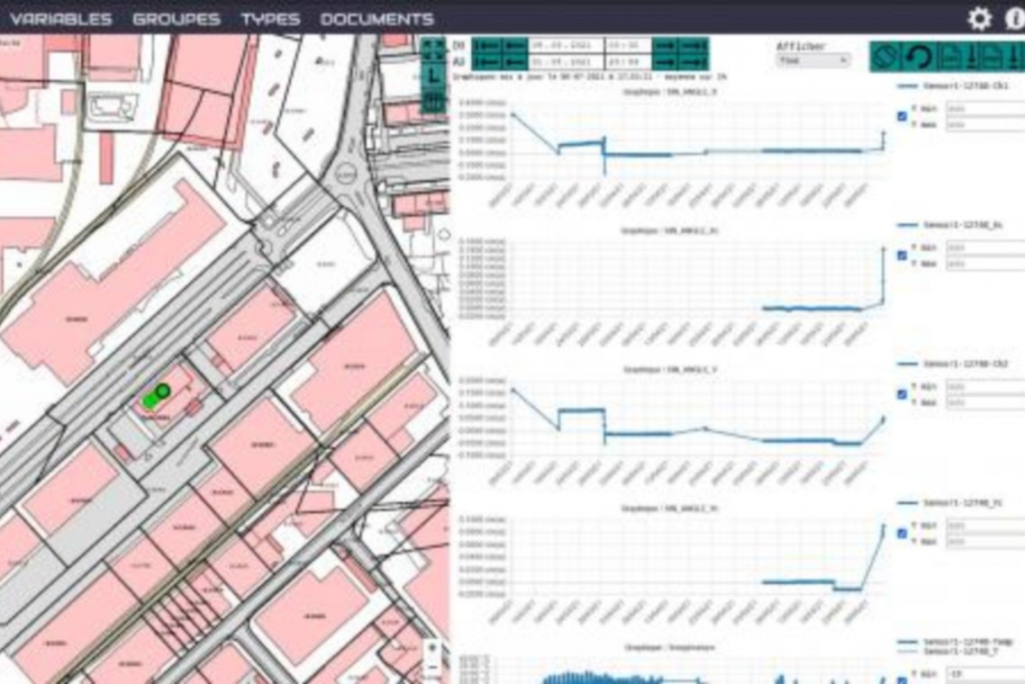
- A web platform for visualizing results
- Alarm means for exceeding threshold values
This pre-study having confirmed the interest of the technology, SPATIAL SA then developed a complete continuous remote monitoring system using inclinometers, with a measurement monitoring platform, alert system developed by GEO-DEV and its Loggis application.
A first site is being installed to check the deformation of an entrance wall to the underground car park. The measurements will be coupled with precise topometric point measurements, for control and comparison of the results obtained.
Other solutions are being studied, making it possible to respond to ever more varied problems.

