Auguste Magnin Relief Project, steps 1 & 2
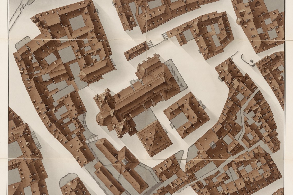
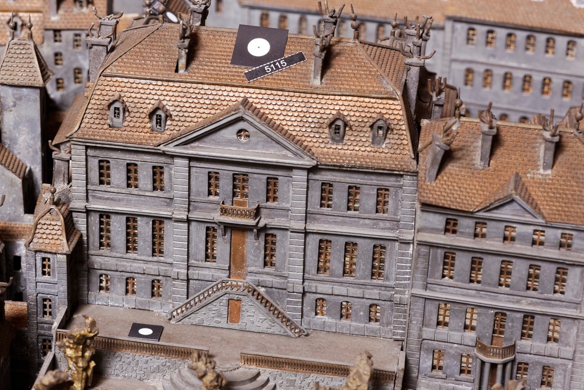
The Relief of Geneva from 1850, visible at the Tavel house, is a 32m2 metal model which shows the city still surrounded by its three ranks of fortification. Completed in 1896, after 18 years of studies and work, it was created by a team of goldsmiths under the direction of the architect Auguste Magnin.
The Republic and canton of Geneva and the City of Geneva, owner of this historical heritage, decided to launch the Auguste Magnin Relief Project (PRAM) in 2011 to make this work accessible to as many people as possible, particularly via the internet.
The project was divided into two main stages, each entirely managed by SPATIAL SA.
Stage 1 - 2011/2014
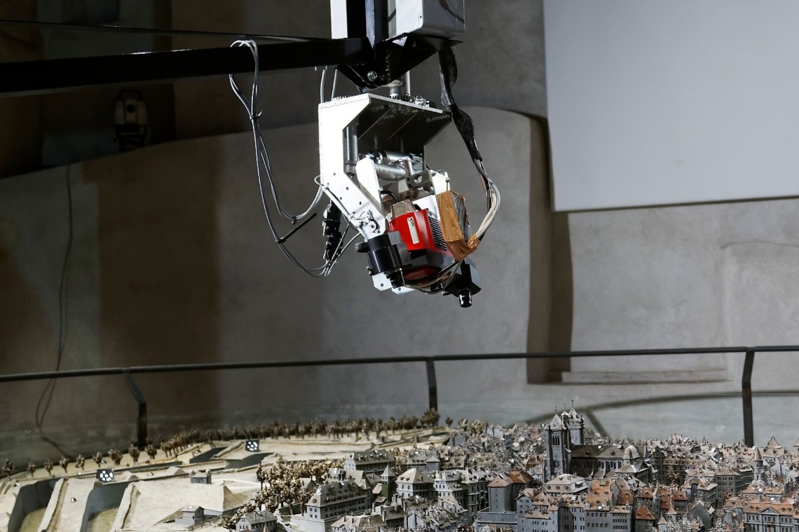
The first step of the PRAM project consisted of creating a digital clone of the model. Several measurement techniques have been implemented:
Measurements by automated tacheometry beforehand, in order to assess the stability of the model throughout the day. It is indeed fundamental to check that the geometry of the model is constant over time.
Establishment of a very high precision framework by tacheometric measurement.
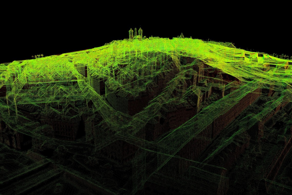
Combination of measurements by laser scanner and photogrammetry, with registration on the previously established canvas, for the establishment of a high precision and very high density 3D model.
The cloud of points and the images obtained will allow craftsmen to establish, in the event of a disaster, the necessary plans (cross sections, longitudinal sections, various calculations, etc.), with ideal precision for a rehabilitation conforming to the original. This objective corresponded to the mission of the Office for the Protection of Cultural Property.
To complete this stage, SPATIAL SA relied on various partners, including Haller Wasser + partner SA, TPLM-3D, HYP-ARC SAS and the Haute Ecole du Paysage, de l'Ingénierie et d'Architecture (HEPIA) .
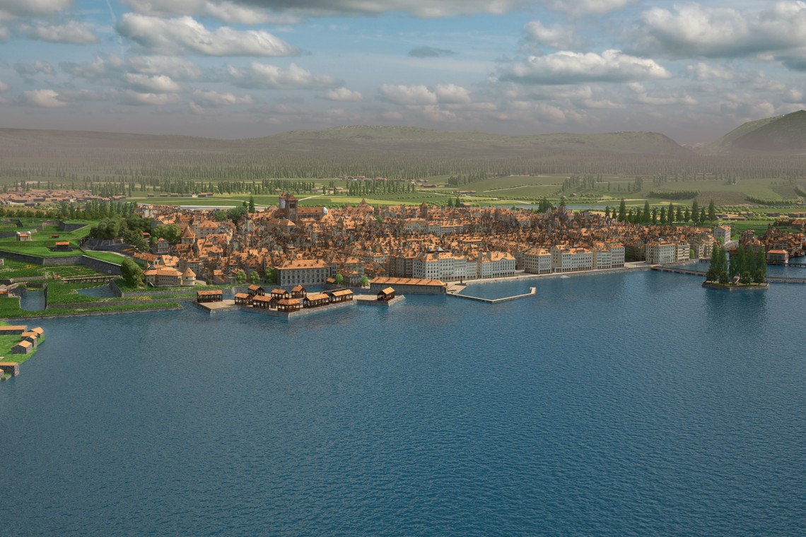
Comparison of the model with current data revealed that it had been produced with a geometric precision unexpected for its time. Hence the major project of using it to create a 3D model of Geneva 1850 perfectly aligned with the official land register, with the textures, vegetation and landscapes of yesteryear.
Stage 2 - 2014/2017
The first objective of this second stage was to deliver to the Geneva Territory Information System (SITG) the city of Geneva 1850 in real size in ESRI format. The second was to make it accessible to the general public, in the form of a virtual tour
The 3D point cloud, established during step 1, served as a basis for the development of a structured 3D model, which had to be topologically accurate (correspondence of all edges), and registered in the coordinate system Switzerland in force.
One of the challenges posed by the model was the presence of different scale factors, used by Auguste Magnin to accentuate the height of the buildings, and especially that of the relief: the city plan is at 1/250th, the height of the buildings at 1/200th and that of the field at 1/100th.
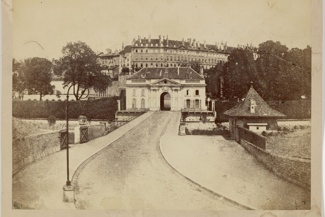
The modeling was pushed down to the smallest details: sidewalks, stairs, doors and windows, chimneys... The vast majority of which is completely automated, with robust control tools. The texturing was carried out on the basis of period documents, in the interest of historical accuracy.
After patient work, involving around fifty experts from 9 specialties, Geneva 1850 could be visited on the internet. The model contains historical metadata on many remarkable works in the city of Geneva.
Pour plus d'informations :
Place :
Geneva
Project owners :
Cantonal Directorate of Official Measurement
Period :
2011-2017
Services :
IT development / Geomatics / Project managementProducts :
